
Decision Support at the Pace you need
Decision Support at the Pace you need
Budgets are getting thinner, but environmental data are still captured through manual checks, snapshots, or narrow sampling.
SoiLiNQ provides continuous environmental intelligence - turning external conditions into data you can plan, act on, and defend.
Budgets are getting thinner, but environmental data are still captured through manual checks, snapshots, or narrow sampling.
SoiLiNQ provides continuous environmental intelligence - turning external conditions into data you can plan, act on, and defend.
Scalable Data Collection
Out-of-the-Box Integration
Scalable Data Collection
Out-of-the-Box Integration
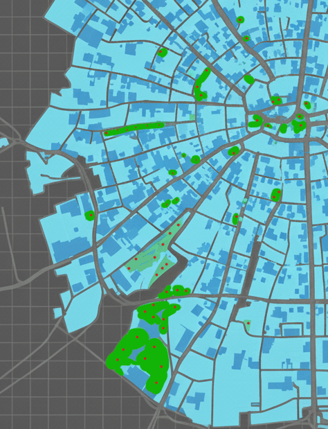
- Collect soil moisture data across parks, streetscapes, green roofs, sports fields, and restoration zones.
- Replace manual sampling with automated telemetry — freeing up staff time and reducing field visits.
- Detect issues early (overwatering, plant stress, leaks, infrastructure risks) and take action before they escalate.

Scalable Data Collection
Out-of-the-Box Integration
Scalable Data Collection
Out-of-the-Box Integration
- Collect soil moisture data across parks, streetscapes, green roofs, sports fields, and restoration zones.
- Replace manual sampling with automated telemetry — freeing up staff time and reducing field visits.
- Detect issues early (overwatering, plant stress, leaks, infrastructure risks) and take action before they escalate.
Insights into Action
- Export soil moisture, alerts, and time-series datasets directly into your GIS tools — no custom setup required.
- Integrate sensor data into spatial planning, hydrology models, maintenance prioritization, and environmental reporting.
- Improve reporting accuracy and reduce project turnaround times with automated, structured data.
Layer moisture trends with canopy cover, land use, or irrigation maps to guide budgeting and resource allocation.
Support climate resilience initiatives with continuously updated environmental data.
Provide stakeholders and departments with easy-to-share visual insights.
Versatile and Secure
Versatile and Secure
Set it and forget it: SoiLiNQ Hardware is IP67 compliant, and operate in a range of conditions for 7 years.

Municipal Managers
Municipal Managers
Green assets can be costly to monitor, repair, or replace.
With continuous environmental data, you can direct staff and resources to areas that need it most.
GIS Professionals & Analysts
GIS Professionals & Analysts

GIS Professionals & Analysts

Environmental & Engineering Consultants
SoiLiNQ delivers continuous, site-specific intelligence straight to your desk - reducing repetitive site visits.
This means you can build faster, more defensible reports with confidence, not guesswork - moving projects move from concept to completion.
A lack of consistent data can mean assessments miss critical conditions, exposing projects to delays, cost overruns, or regulatory concerns.
Versatile and Secure
Versatile and Secure
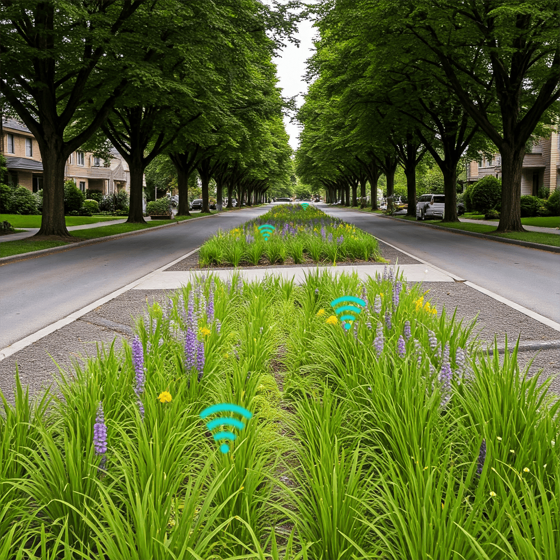
- SoiLiNQ transmits data through soil and concrete up to 1.5 kilometers, ideal for large or hard-to-reach areas.
- Collects critical environmental data from locations that are traditionally difficult or impossible to monitor.
- Provides decision-makers with a comprehensive view of landscapes.
- Minimizes or eliminates interference from distance, traffic, and environmental factors.
- Delivers reliable, continuous, and accurate data when and where it matters most.
Versatile and Secure
Versatile and Secure
- SoiLiNQ transmits data through soil and concrete up to 1.5 kilometers, ideal for large or hard-to-reach areas.
- Collects critical environmental data from locations that are traditionally difficult or impossible to monitor.
- Provides decision-makers with a comprehensive view of landscapes.
- Minimizes or eliminates interference from distance, traffic, and environmental factors.
- Delivers reliable, continuous, and accurate data when and where it matters most.
